Since starting this project, one thing I’ve been constantly looking out for is old maps. Unless there are some unpublished photos1 or drawings floating around (and I sincerely hope that there are), maps are the only visual record we have of the old Western Creek.
Looking at maps of Brisbane from the late 1800s and early 1900s, you can see the residential lots dissolve into singular paddocks, and the road networks dwindle to just a few major arteries. In the spaces that are left, you can often find details of the underlying landscape. The oldest maps sometimes depict slopes and ridges, some of which have since been reshaped or cut down. And in between the hills you will typically see an abundance of water features — not only rivers and creeks, but also swamps and ponds — that have long since been built over.
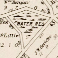
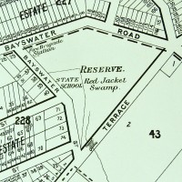
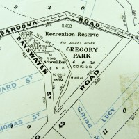
In the essay about the history of Gregory Park, I showed how the transition from Red Jacket Swamp to Gregory Park was depicted on maps from 1906, 1896 and 1884:

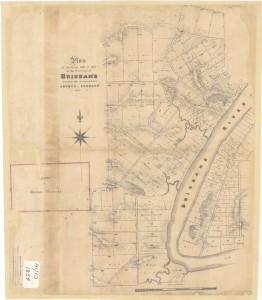
Plan of Portions 203 to 257 in the Environs of Brisbane, 1859. (Queensland State Archives Item ID620656)
Notes:
- In the State Library’s catalogue, there is a photos of the old Dunmore Bridge (where Coronation Drive crossed the mouth of the creek) and one of a sad looking ditch somewhere in the vicinity of Beck Street. These are the only photos I know of that show Western Creek. If you know of others, please get in touch with me! ↩


