Today I went up to the summit of Mount Coot-tha. It was another glorious, cloudless winter day, and while I did spend some time looking out over Brisbane while enjoying an ice cream, my main objective was to explore some of the walking tracks that begin from the summit and lead in various directions into the bush.
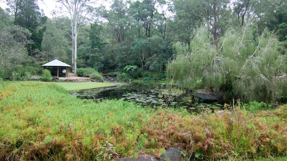
The Caladenia Creek
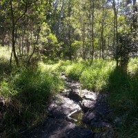
A small creek near the Lookout Trail leading from the summit of Mount Coot-tha towards Caladenia Street, Indooroopilly.
The first track I took was the Lookout Trail, which starts at the bottom of the carpark leading up to the cafe. After first following a gentle slope, this track quickly plummets at a perilously steep angle down towards Indooroopilly. The slope then eases again and the track heads along a slight ridge. To the left lies a residential estate, and to the right, a gully leading down to a rocky creek bed. The track and the creek then converge and come to an abrupt end top of Caladenia Street. The track gives way to a bitumen road, and the creek is swallowed up by a large drainpipe running beneath the road.
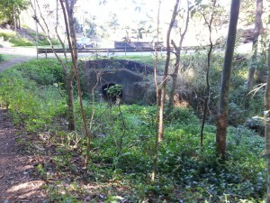
Where the bush becomes suburbia and the creek becomes a drain at Caladenia Street, Indooroopilly.
I’ve spent considerable time wandering around Western Creek trying to imagine what the landscape looked like before it was developed. It’s not easy to do, because so little bushland is left there except for a few patches around Government House and around Tristania Drive. But here at Caladenia Street, the before-and-after comparison couldn’t be easier. The past and the present are conveniently juxtaposed, divided neatly by a straight line. On one side there is the bush and creek, more or less as they always would have been; on the other side is the modified suburban landscape, bearing absolutely no resemblance to what it replaced.
Where the forest meets the suburb, at Caladenia Street, Indooroopilly. View Larger Map
Continue reading →

