As a certain amply-sized entrepreneur of self-branded cleaning products used to say, “I’m excited!”
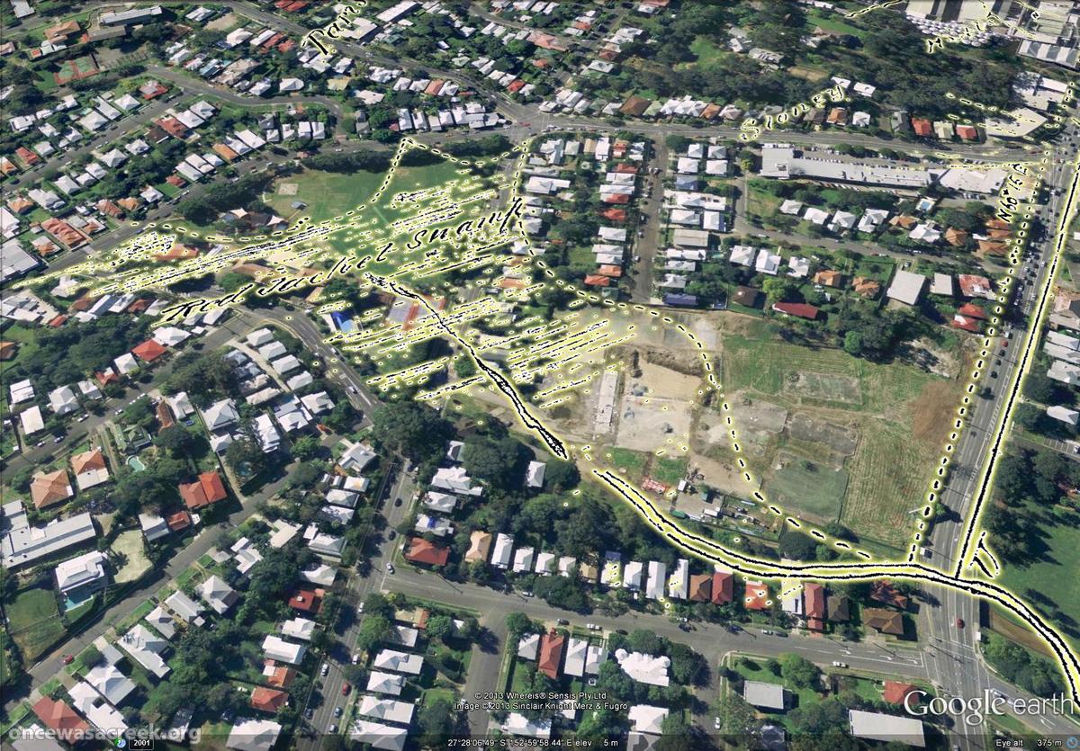
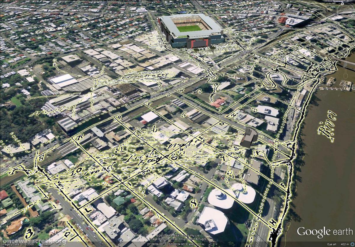
I’m excited because I’ve just made a new gallery featuring aerial imagery from 1946 (the earliest of Brisbane, as far as I know) as you’ve never1 seen it before: in Google Earth!
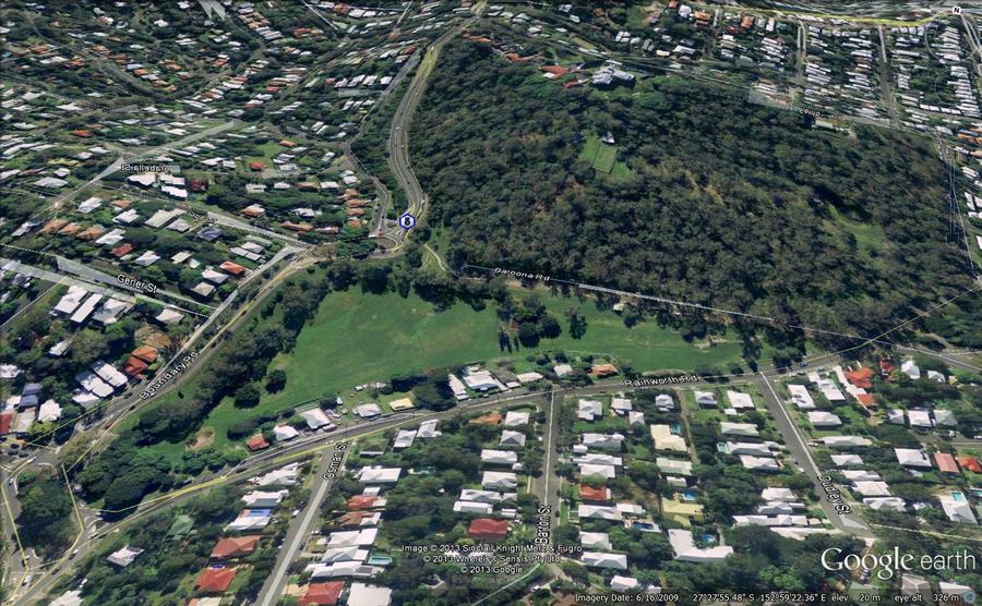
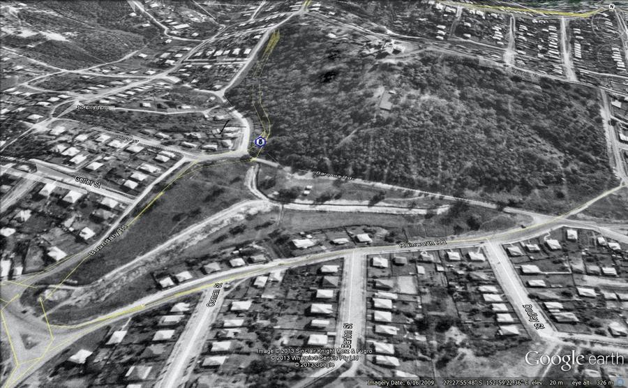
Even better, you can see the difference between then and now just by hovering your cursor over the images — try it on the example below, which shows Norman Buchan Park and the Government House grounds. (If you are using a smartphone or tablet, try tapping the image and then tapping a blank space around it.)
With just the wave of your mouse you can see where the trees have grown, where the bush has been cleared, where the drains have been covered, and much more. All in all, I think this is pretty nifty. Don’t forget to visit the gallery for more images like this one.
One thing these images don’t convey is the experience of actually navigating through 1946 Brisbane in Google Earth. I can tell you that it’s bloody marvellous. And when you see it, you realise that this is where these images belong: on a publicly accessible platform that enables them to be explored from any angle and in conjunction with other spatial information.
But it’s not my business to host these images, and if I did so I would probably be breaching some piece of fine print or another. That is the business of the custodian of this imagery, which I presume is the Brisbane City Council. They have the full dataset already geo-aligned, ready to go. (I, on the other hand, had to stitch together dozens of separate screengrabs from PDOnline, and align them myself using GIS software before converting them into Google Earth’s native format.)
There is a precedent for doing this. The State Government’s Queensland Globe initiative has created a framework that would readily accommodate the 1946 imagery. Queensland Globe (and the open data strategy of which it is a part) is a giant leap in the right direction for making the state’s spatial data publicly accessible. By downloading a single file that opens in Google Earth, you can access various additional layers of information including property and suburb boundaries, land tenure, and an alternative set of aerial images. More layers will — I hope — be added soon.
Queensland Globe would be a natural home for historical aerial imagery such as the 1946 series of Brisbane. Or perhaps the council can create a similar initiative of their own. I don’t really care how it is done. I just hope that before long, you’ll be able to see images like these somewhere other than my humble website.
Notes:
- If you have already seen it like this, I want to know where! ↩

