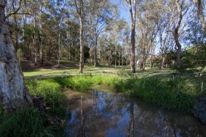
Just a quick note to mention that I have just updated the recent post about the catchments of the Crescent Reach to include a revised outline of the Langsville Creek catchment.
My first attempt at mapping that catchment omitted an area between (roughly) Ascog Terrace and Kensington Terrace, and including Toowong Village. I thought this might have been a separate catchment that discharged straight to the river, but closer inspection showed that it was actually a subcatchment of Langsville Creek. The give-away was the fact that one of the branches of Langsville Creek as depicted on the map from 1859 reached a good distance into this area.
So, Toowong Village is part of the Langsville Creek catchment after all (in fact I suspect it was built right on top of a watercourse), and the area of the catchment is about 3.3 km2 rather than the 2.7 km2 that I think I estimated the first time around.
I have also updated the kmz file that you can use in Google Earth to explore the catchments.

