January 2011 Flood
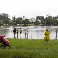
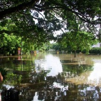
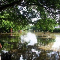
The flood of January 2011 was Brisbane’s biggest since 1974, and its second biggest since 1898. I didn’t know it at the time, but the seeds for this website were being sown while I was taking the photos you see below. Seeing these suburbs in such a different way made me think about this familiar landscape in a completely different way.
These and other photos that I took during the 2011 flood can also be seen in my set on flickr.
- Gregrory Park starts to fill (January 11, 2011)
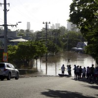
- Haig Road during the 2011 flood
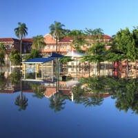
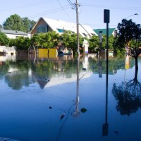
- Milton School reflected on Gregory Park (January 14, 2011)
- Haig Road during the January 2011flood
- Rosalie Village during the January 2011 flood
- Looking down Baroona Road to Rosalie Village during the flood
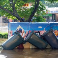
- The carpark on the corner of Baroona Rd and Nash St in Rosalie village, January 2011
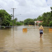
- Torwood Street during the January 2011 flood
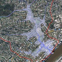
- The extent of the 2011 flood in Western Creek (DERM / Google Maps)
Last modified: January 28, 2013

Hi – thank you so much for your blog on Western Creek – I live in Macintosh Street & have been affected by 1974 (1 meter through the house) & 2011 (didn’t get into the house just underneath but we had our office there & all my sewing stuff). Am I right in thinking that a non-return valve is really not going to do a lot of good the next time we have a flood – Western Creek will still flood because it won’t be able to get away? I doubt we’ll still be here for the next 30-40 year event.
l8kyiz
idw2tp
ms2j3a
tbt5wb
tg20l4
heq03w
5plubo
n2lgwc
fngk5c
ojsxba