While I continue to neglect my own website, I did recently find time to contribute to someone else’s. In collaboration with Trish FitzSimons, who recently produced a wonderful series of short films featured in the Museum of Brisbane’s Navigating Norman Creek exhibit, and with support from the Brisbane City Council’s Community History Grant, I contributed to two pages about the history of Norman Creek for the website of the Norman Creek Catchment Coordinating Committee, or N4C.
The first of these two pages explores a plan of Norman Creek drawn in 1839 by the government surveyor James Warner. This plan, held today by the Queensland Museum of Lands, Mapping and Surveying, is a real treasure. It traces the entire length of Norman Creek, from its headwaters in Mount Gravatt to its junction with the Brisbane River. Warner not only depicted the course and form of the stream, but also described the surrounding terrain and vegetation as it was before Brisbane had developed beyond the penal settlement at the site of the modern CBD. His plan links us to the natural history of what is now a highly urbanised catchment.
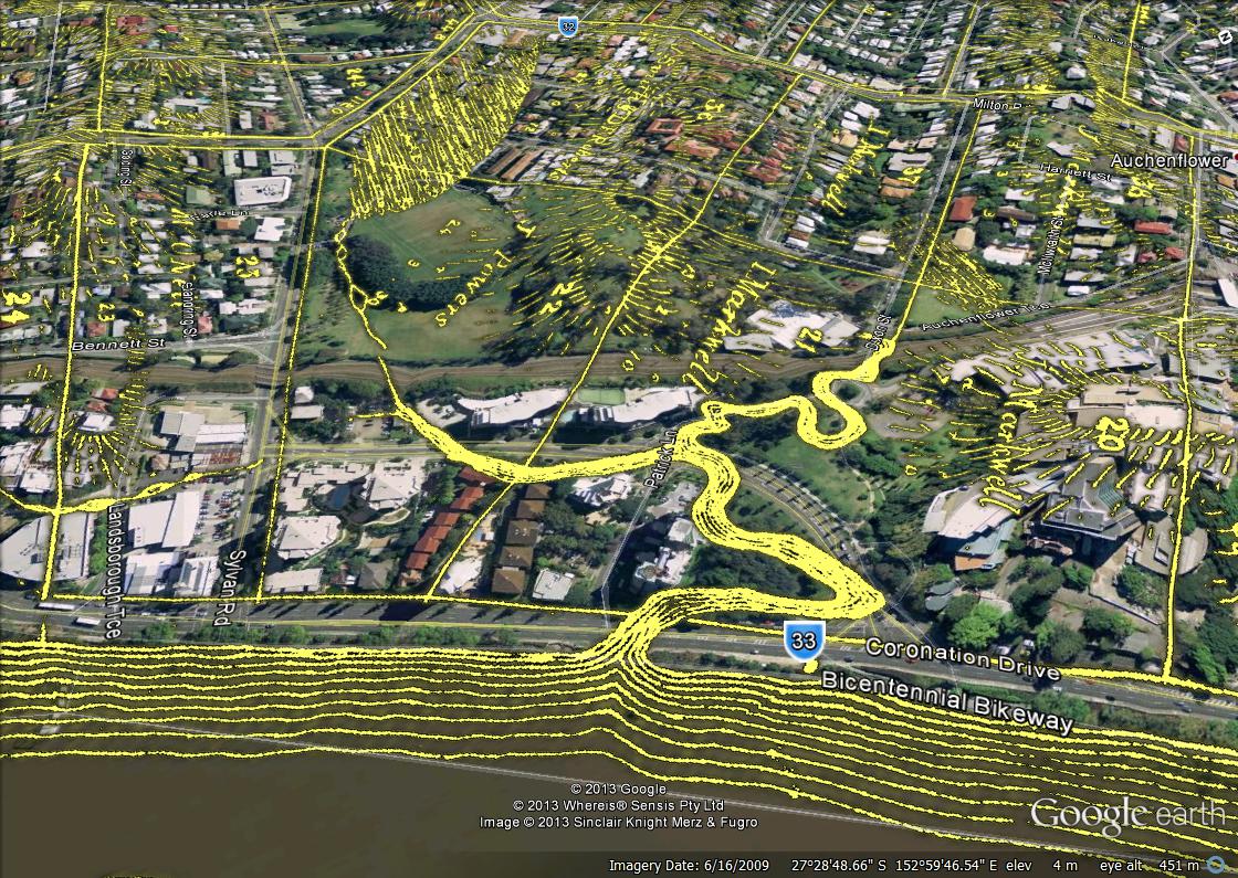
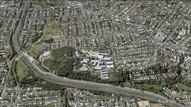
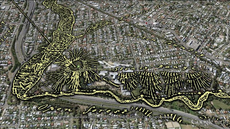
The page, Navigating Norman Creek: Maps from 1839 and 2015, provides a guided tour of Warner’s plan, using Google Earth (in combination with some other special magic) to show how the features on the plan correspond with today’s suburban landscape. The image below is just one example.
Warner sketched an open forest and a stoney range on either side of what is now the Pacific Motorway as it passes the Greenslopes Hospital. Downstream, he found a large swamp that has since become parkland.
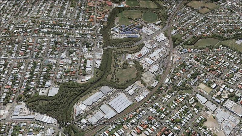
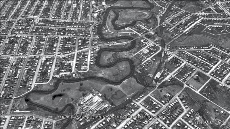
The second page explores another slice of Norman Creek’s history, this time via the 1946 aerial imagery of Brisbane. The image below, which will transition to the modern landscape if you hover your cursor on it (or touch it if you are using a mobile device), illustrates the level of modification that the creek has undergone since the middle of the 20th century.
The stretch of Norman Creek between Deshon Street and Stanley Street, Woolloongabba, was straightened during the early 1990s, with several meanders and sharp bends bypassed. Meanwhile, the previously cleared Moorhen Flats has been revegetated.
If you’ve been hanging out for some new content here at oncewasacreek.org, I hope these explorations of Norman Creek provide some satisfaction. I can’t promise any more material in the immediate future, but if you happen to be interested in the intersection between data visualisation and the study of public discourse, you might find more joy at my other blog, seenanotherway.com, which has just lurched back into life and is likely to get a lot more attention in the coming months as I enter the next phase of my PhD.
